
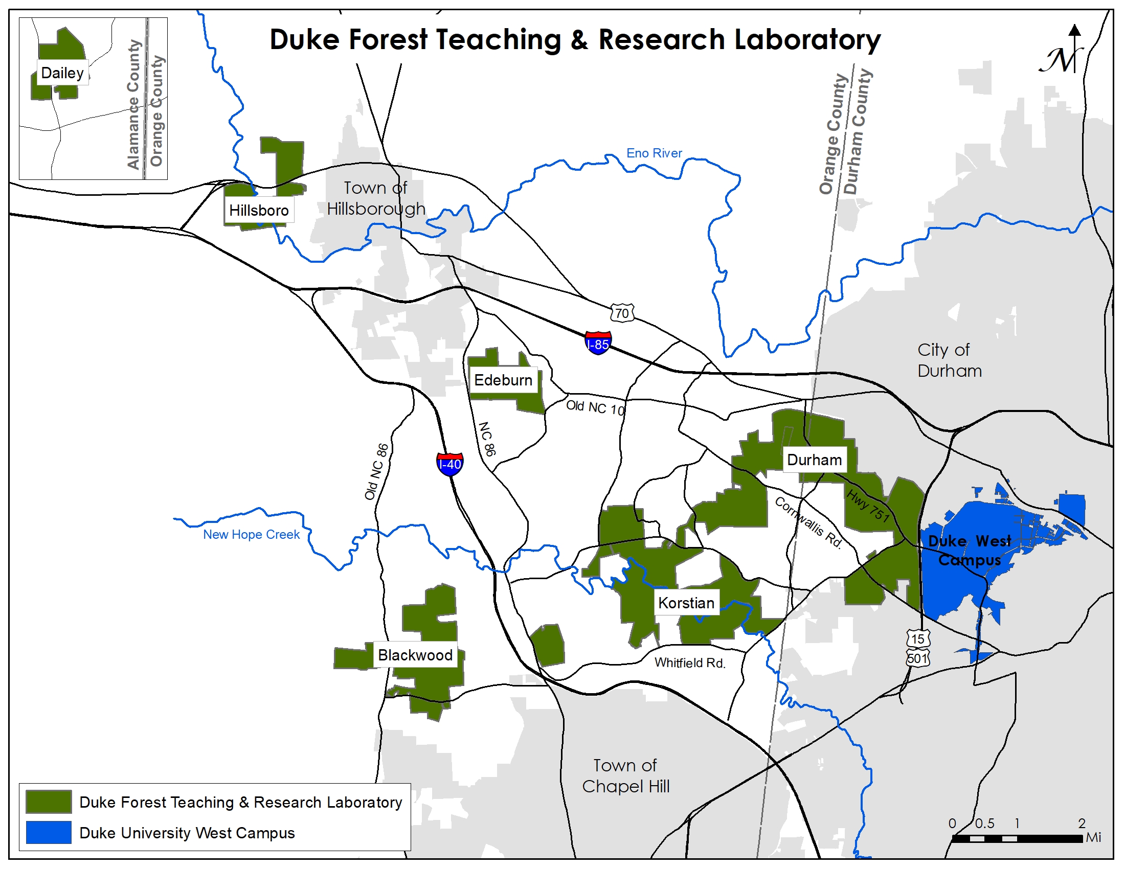
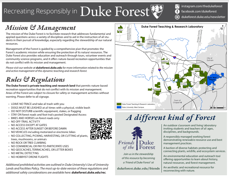
The Duke Forest is comprised of over 7,000 acres in three counties in Central NC. The landbase is not contiguous and can only be accessed via indicated Forest gates, providing that all Regulations and Safety Guidelines are followed. Detailed maps can be found at every major Duke Forest gate and up-to-date digital ones can be downloaded by filling out the form at the bottom of this page.
Tips for orienting in the Duke Forest
- Take note of the road where you parked and the gate number you walked through (white numbers on the green gates).
- Service can be spotty. Do not rely on GPS based apps—which also often show misrepresentations. Study and take a picture of the map posted at the trailhead (All major trailheads popular with recreational visitors have maps).
- Follow the Duke Blue Dot 🔵 blazes for authorized foot trails. If you have stepped off of a Fire Road onto a trail without a Blue Dot, you are in an unauthorized location of the Duke Forest)
- Remember: Dogs must remain on leash at all times in our research forest. And bikes are not allowed on foot trails. Please abide by posted signage.
General Locator Map
Recreating Responsibly
Detailed Recreation Maps
In the past, detailed maps showing all forest roads, foot trail, creeks, and topographic contours have been available for purchase from the Office of the Duke Forest. However, when our inventory of paper maps was exhausted, our team decided to make official digital PDF maps. Our recreation maps are available for download via the link below. After agreeing to our rules and regulations, maps will be instantly emailed to the provided address.